Over 100 Million Americans Under Dangerous Heat Alerts This Week

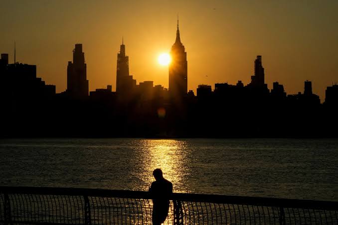
A sweeping heat dome stretching from Los Angeles to Boston is expected to place more than 100 million Americans under dangerous heat conditions this week, following a weekend in which multiple Western cities shattered all-time temperature records.
Record Highs Broken Across the West
Sunday afternoon delivered historic heat across a swath of the Western United States. Salt Lake City recorded a preliminary high of 109 degrees Fahrenheit, breaking its all-time record of 107 degrees — a mark that had been set in 1960, 2002, 2021, and twice in 2022. Temperature records for the city date to 1874.
In Billings, Montana, the mercury climbed to a preliminary high of 111 degrees, shattering the previous record of 108 degrees set on July 14, 2002. Miles City, Montana went even further, reaching a preliminary 115 degrees — breaking its previous record of 111 degrees set in June 2012. The hottest temperature ever recorded in Montana’s history is 117 degrees, observed in Medicine Lake on July 5, 1937.
Extreme Heat Warnings Span the Country
A heat dome has established itself over the Northern Plains, pushing extreme heat and humidity across the country’s northern tier. Extreme heat warnings are in effect from Utah to the upper peninsula of Michigan through much of the week.
Minneapolis is under an extreme heat warning through Thursday, with daily heat indices potentially reaching 100 degrees. Fargo, North Dakota, faces a heat index as high as 110 degrees today and Tuesday. In Utah, Zion Canyon could feel like 110 degrees, while Salt Lake City and Billings both remain above 100. Calumet, Michigan, and Duluth, Minnesota, could see heat indices near 100. Detroit is under an extreme heat watch for Tuesday, with a possible heat index near 107.
In Southern California, heat alerts are in effect through Thursday. Coastal valley temperatures will reach 85 to 90 degrees through Tuesday, with interior valleys approaching 105. Wednesday and Thursday will be hotter still, with downtown Los Angeles reaching the mid-to-upper 90s and interior valleys up to 105 degrees.
Northeast Heat Wave Begins Tuesday
The dangerous heat wave 100 million Americans are facing will spread to the Northeast starting Tuesday, where three or more consecutive days of temperatures above 90 degrees are forecast for New York City, Philadelphia, and Washington, D.C. Heat advisories are in place for at least Tuesday and Wednesday across much of the region, with heat indices around 100 degrees expected.
The upper Northeast will be hottest Tuesday, with heat indices ranging from 100 to 104 degrees from Rochester to Albany to Boston. The New York City-to-D.C. corridor will likely peak Wednesday, with heat indices near 100 in New York City and near 105 in Washington.
Severe Storms Threaten Northern New England Tuesday
The collision between the extreme heat and humidity and a descending cold front from Canada will fuel the risk of severe storms across northern New England on Tuesday afternoon and evening. A level 3 of 5 severe weather risk is in place from northeast New York through northern Vermont, New Hampshire, and Maine — including Burlington, Vermont; Plattsburgh, New York; Caribou, Maine; and Massena, New York.
Storms capable of destructive winds exceeding 70 miles per hour, large hail bigger than ping pong balls, and isolated tornadoes are possible, with the greatest threat arriving after 5 p.m. Eastern time and continuing into the night as the cold front pushes south.
Author: Staff Writer | Edited for WTFwire.com | SOURCE: ABC News
: 20